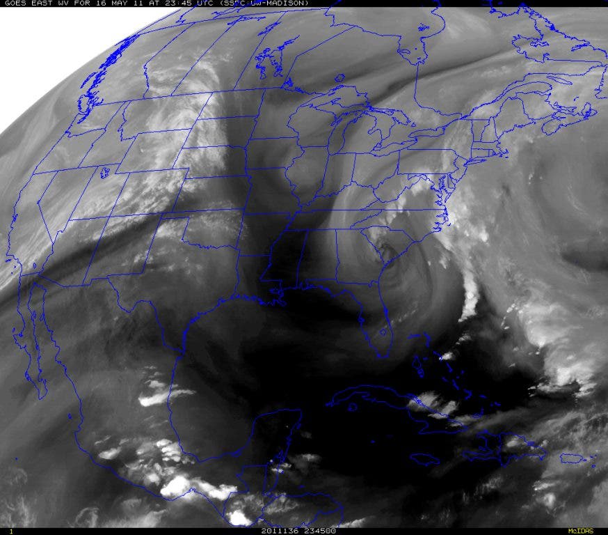

What appeared to be a promising rain maker is now lifting NE out of the state (see map) leaving most areas high and dry. A very vigorous and cold upper level low brought some light showers to a few areas ,but not the rainfall amounts that we needed and it's now been 12 days since our last rainfall. Cool temperatures at the surface meant very little lift in the atmosphere even though the mid and upper levels were very favorable for thunderstorms. Abundant cloud cover helped to keep the temperatures well below normal for this time of year.
RECORDS FOR 05-16
Maximum Minimum Station High Low High Low KAHN 94 60 69 41 1933 1910 1933 1973 KATL 91 61 74 39 1962 1910 1899 1973 KCSG 95 73 70 45 1962 2006 1992 1973 KMCN 95 68 70 43 1977 1910 1963 1973We hit 66.7 F here at DaculaWeather.com today which is well below the 69 F record at Athens.
Find out what's happening in Duluthwith free, real-time updates from Patch.
Temperatures will be on the rebound for the remainder of the week and we'll be back in the mid 80's by Friday. Our next good chance for rain, unfortunately, will not be until next weekend.
Keep track of the latest weather at DaculaWeather.com and follow us at Twitter@DaculaWeather.