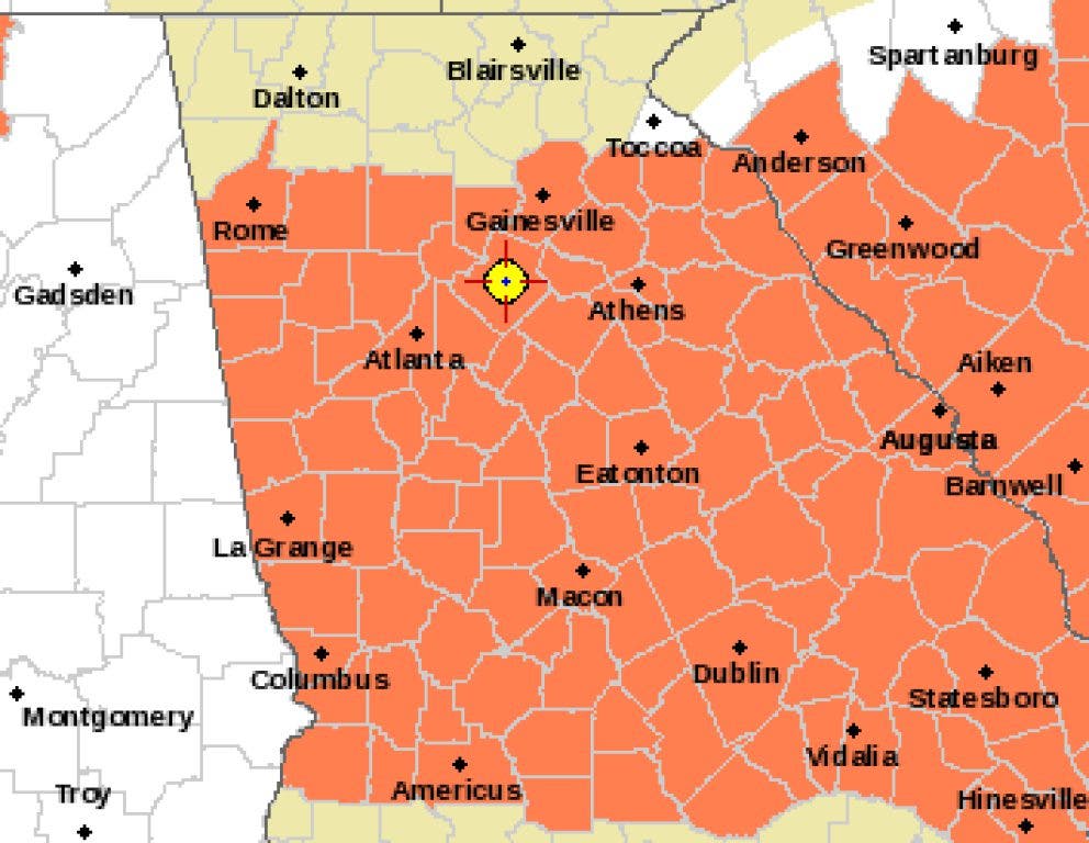
At least one more day of heat is is store before we finally get some relief from the extreme temperatures. Wednesday is going to be a scorcher and most likely the hottest day of the year so far. The forecasted high is 101 degrees but it should stay below the 103 degree record set back in 1980. The real interest tomorrow will be the heat index which is expected to rise well above 110 degrees. Today's heat index hit 116 degrees here at DaculaWeather.com and I wouldn't be surprised to see it go even further tomorrow.
The one saving grace will be the chance of thunderstorms and the relief that their rain and clouds will bring. Even those areas that might not get rain, might feel the cooling effects that the clouds might offer. But outside of that, expect the brutal heat to continue through tomorrow.
As the week goes on there will be an increased chance for rain and cooler (it's still summer!) temperatures. Models show the Southeast under an increasingly moist flow of moisture from the Gulf and Atlantic (see images) as the high pressure responsible for our heat wave slowly looses it's grip. Precipitable water values are on the increase (the amount of water that can potentially fall from the atmosphere) and some areas are already at 2" (see map). Models show these values to increase to 2.5" or higher by the weekend. Hot, muggy, tropical air will be the norm and the atmosphere will become more and more unstable as the weekend approaches.
Find out what's happening in Duluthwith free, real-time updates from Patch.
For all of your weather needs, please visit DaculaWeather.com and don't forget you can follow us of Facebook, Twitter, and through our email notifications.
